[CLS] - Introduction

Cultural Landscapes Scanner (CLS)
Earth Observation and automated detection of subsoil undiscovered cultural heritage sites via AI approaches

[CLS] - Gallery

[CLS] - Tab


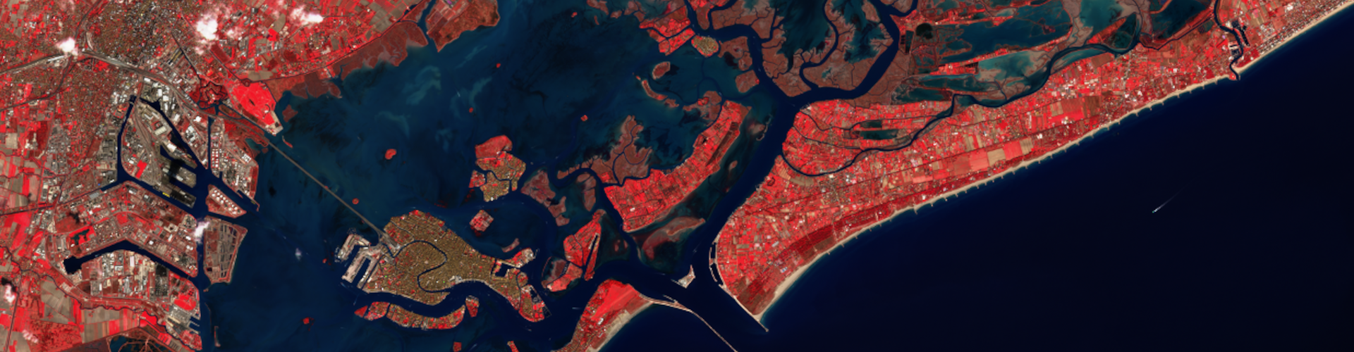
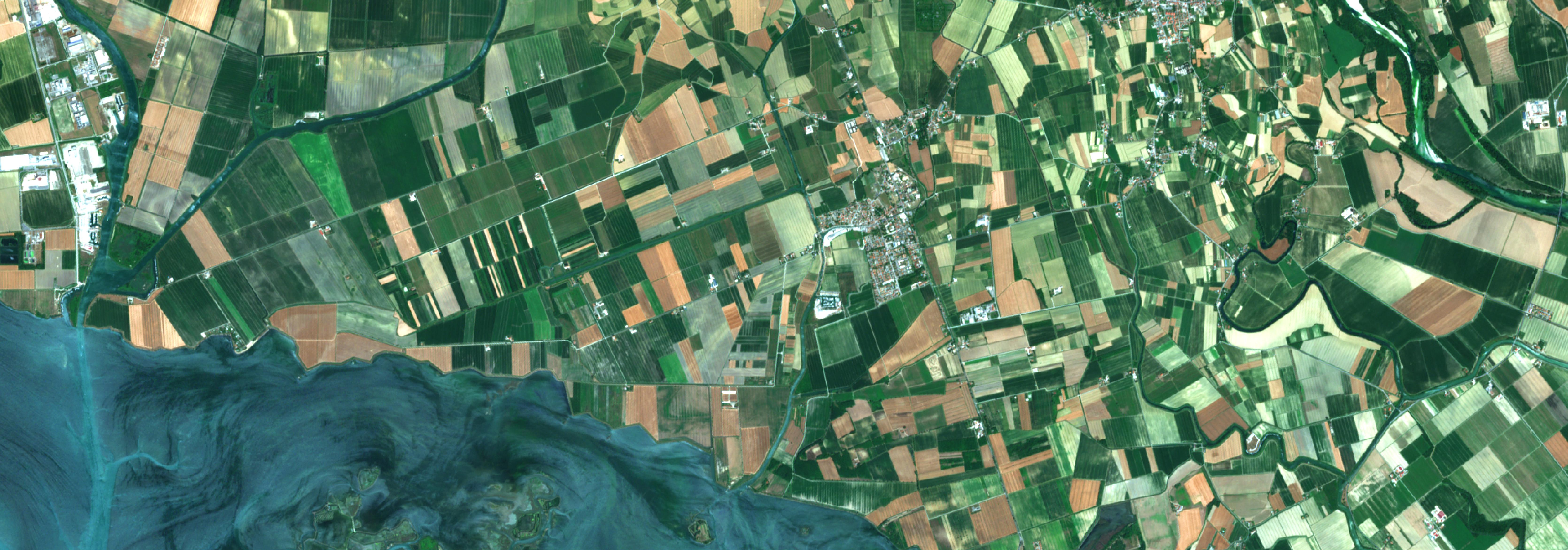
Sub-surface, yet-undiscovered cultural heritage sites (such as buried ancient structures and monuments) can be identified on remote sensing data from a variety of sensors in the form of anomalies or traces detectable on bare soils, crops, and vegetation. Current availability of free remote sensing datasets through platforms, like those offered by Copernicus Service, is unprecedented. However, such extraordinary proliferation of data has posed significant hurdles in terms of managing, processing and interpreting images to the point that the quantity of data is not manageable by traditional ‘human’ visual interpretation.

The new challenge in cultural heritage remote sensing scholarship, therefore, is to develop or improve approaches that can facilitate the automatic detection of (archaeological) objects of interest. CLS project takes charge of such a challenge by developing Artificial Intelligence (AI) algorithms that search remote sensing images of specific cultural heritage objects and patterns related to past anthropogenic interference on landscapes. This project will also considerably expand existing means of identification of ancient land division systems —and more generally of landscape patterning— by automating procedures of similarly-oriented linear feature detection.

In pursuit its research agenda, Cultural Landscapes Scanner (CLS) will work toward removing some of the most pressing barriers to the development of mature applications of AI for automated detection in archaeology, such as:

- lack of suitable training datasets, often limited in span and/or quality and not publicly available;
- absence of publicly available benchmark datasets against which different Artificial Intelligence techniques can be tested;
- lack of a standard set of measures to assess the performance of the different methods.


CLS aims at setting a benchmark in the use of remote sensing data for the automatic identification of various classes of undiscovered cultural heritage sites through the integration of cutting-edge machine learning approaches with archaeological research and fieldwork.

The project is working toward the creation of the first publicly available multi-modal dataset of labelled archaeological sites and toward solving the problem of the non-standardisation of performance metrics. This benchmark dataset will contain Sentinel 2 multi-spectral images and LiDAR data of the archaeological landscape of Aquileia (Italy), a major city of the Roman Empire.

State-of-the-art object detection and semantic segmentation methods are being explored to establish how the granularity of the detection affects the quality of the prediction from an archaeological point of view. To assess the performance of the different models, a set of different metrics will be introduced with the collaboration of landscape archaeologists in order to set a first reference standard for promoting objective cross-study measurements. Archaeological ground-truthing will be undertaken in the case study area to verify the predicted results provided by the developed AI methods. The data collected during the ground-truthing activities will be used to improve the identification performance of the proposed methods.


Results & Dissemination

ESA Living Planet Simposium
Bonn 2022 

POSTER 


Principal Investigator: 

Arianna Traviglia


Affiliated Researchers: 


Marco Fiorucci, PhD, Research Fellow


Paolo Soleni, IT Technician


[CLS] - Acknowledgements